History Links
- History of Brentor – G
- Brentor’s past in pictures
- The blizzards of 1963
- Brentor in the past
- A history of West Blackdown School
- The history of Gill House, Brentor
- Vic Cowling’s Brentor
- Brentor Inn memories
- Brentor’s History
- Stella Claringbold’s Brentor
- Brentor People in 1911 and beyond
- Brentor: September 1939
- The First World War – Everyone Played Their Part
- Brentor and the First World War
History of Brentor
For many years the original editor of the site collected articles, stories and recollections from people associated with Brentor Parish and created a rich resource of life in the village throughout the years. This collection has been preserved and now form the heart of this section of the website. His hard work has ensured that these important memories and the historical knowledge of contributors has been preserved for the future.
The parish of Brentor is situated in West Devon, about 4 miles (6km) north of the market town of Tavistock on the north west edge of the Dartmoor National Park. To the east is the River Burn (a tributary of the River Tavy), and Gibbet Hill backed by an impressive range of granite Dartmoor Tors. To the north and west is the River Lyd (a tributary of the River Tamar) and an ‘area of outstanding natural beauty’ in the Lyd Valley. The area has been inhabited for thousands of years and there are many traces of these ancient parishioners that can be seen today.

Prehistory
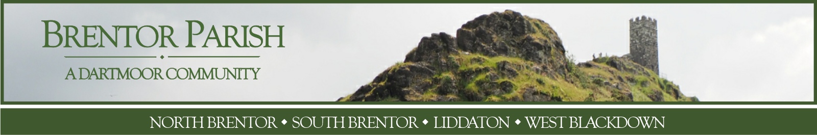
The Tor itself is a dramatic conical volcanic plug 1100 feet (335m) high. In contrast to the neighbouring granite tors of Dartmoor, Brent Tor was formed from pillow lava extruded under a shallow sea some 350 million years ago. The result is an ‘excellent and rare example of …submarine volcanic deposits’ and has been registered as a site of special scientific interest (SSSI).
Blocks of lava and pumice have been incorporated into many of the stone walls and houses in the parish.
Iron Age
The prominent and rugged nature of Brent Tor has made it a focus for human activity for more than 2,000 years. Notable earthworks around the Tor include late iron age ramparts dating from 500BC, and later enclosed platforms probably established in the Dark Ages or the medieval period. These earthworks constitute a scheduled monument.
c1100
The most striking human feature is the 12th century church of St Michael de Rupe, which is both the smallest and highest complete parish church in England. This early Norman chantry was built in 1130 by Robert Giffard on the summit of Brent Tor, giving it a unique and dramatic silhouette. The church is only 4.6 metres (15 feet) wide and 11.3 metres (37 feet) long, with a 12.2 metre (40 foot) tower housing three bells. St Michael’s remains the official Brentor parish church despite the later construction of Christchurch in North Brentor
Industrial Age
The agricultural settlements were connected by a network of rugged routes for pack horses until the late eighteenth century, when the demands of the industrial revolution triggered extensive enclosures of common land and demands for raw materials. Mining for manganese, ochre and copper became important sources of wealth and employment in the nineteenth century, with at least five mines active in the parish. These developments resulted in the construction of a turnpike toll road past Brent Tor in the late eighteenth century and of two railway lines along the Burn valley in the nineteenth century.
Victorian Period
White’s Directory of 1850 describes Brentor as ‘containing 169 souls, and 2180 acres of land, rising in bold hills on the western confines of Dartmoor’. The parish church was St Michael de Rupe (at the summit of Brent Tor).
The boundary changes of the 1880s (ecclesiastical boundary change 1883, civil boundary transfer 1885) transferred the detached portion of Lamerton to the Parish of Brentor, more than doubling its size and population.
1830s
A National School was opened in 1832. This church school continued to serve the village until 1955 when it was closed and was converted into the Church Hall. The building was sold in 2004 and converted into a private dwelling.
The eastern parish boundary between Mary Tavy & Brentor ran along the River Burn and there was controversy over which parish should provide schooling for the children living on Blackdown. The Mary Tavy board eventually funded the building of West Blackdown School in 1890. It had difficulties from the start and the first school mistress Annie Gerry (1890 to 1901) received the lowest salary of any school in Devon. West Blackdown School closed in 1918.
1850s
Christchurch was built in 1856, and consecrated in 1857, to replace a small ‘Chapel of Ease’ which had been built in 1825 for the Church of St Peter in Lamerton some four miles away. The building of Christchurch was financed largely by donations from Mrs Isabella Howell, and it was designed in the ‘eclectic gothic’ style by Richard Gosling of Torquay.
The Railway
Modern Era
Further boundary changes in 1987 saw the area east of the ‘White Lady Waterfall’ on the River Lyd transferred to Lydford parish and Blackdown, up to the road, transferred to Brentor from Mary Tavy parish. The centre of North Brentor was designated a Conservation Area in August 1993.
-
Brentor History
A general guide to Brentor's past, its history, geology, buildings and people. -
A History of Gill House
The History of Gill House, Brentor Gill House, the History of a Dartmoor Longhouse in the Village of Brentor, researched by Carol Butson, -
Gibbet Hill
Part of a larger article ‘The King Way: Part 2 – Blackdown to Nodden Gate‘ published on the ‘A Walk in English Weather’ website. -
Vic Cowling's Brentor
Vic Cowling was born in Brentor in 1941 and reminiscences about life in Brentor during the 1940s and 1950s. -
The Brentor of Yesteryear
The Brentor of Yesteryear by Stella Claringbold, who was born in 1915 and wrote these memories of Brentor in 1980 for the newly- instigated village newsletter Brentor News. They are an evocative picture of life in Brentor in the early 1920s and beyond. -
Brentor at War
During times of conflict the people of Brentor Parish have always done their bit.